Modernizing our Agricultural Heritage: The Illinois Centennial Soil Archive Project
What is it? A key piece of our agricultural heritage in Illinois is a world-class, one-of-a-kind soil sample archive collected when Illinois soils were first being surveyed. Beginning in 1899, soil types across the state were mapped by sampling fields to 3 foot depth and characterizing the distinct soil layers. This effort supported advancements in Illinois agriculture for much of the early 20th century.
Our predecessors had the foresight to keep records of sampling locations and to store these soil samples at University of Illinois. Supported by the Illinois Nutrient Research and Education Council (NREC) and Illinois Farm Bureau, we have spent the past four years recovering and curating the archive of soils sampled from 1899 through the 2000s.
Now, we wish to resample these same locations in order to identify how soils have changed over time in Illinois. By doing so, we can understand soil changes as far back as 1899 to present day – over 120 years. This would yield unprecedented insight to our state’s soil resource base, and enable improvements in soil fertility management and conservation, including much needed updates to the Illinois Agronomy Handbook.
Why we need your help: The original soils and approximately 450 locations we seek to re-sample are located on private land, often fields. We are looking to identify and contact landowners and producers to ask for permission to sample soils.
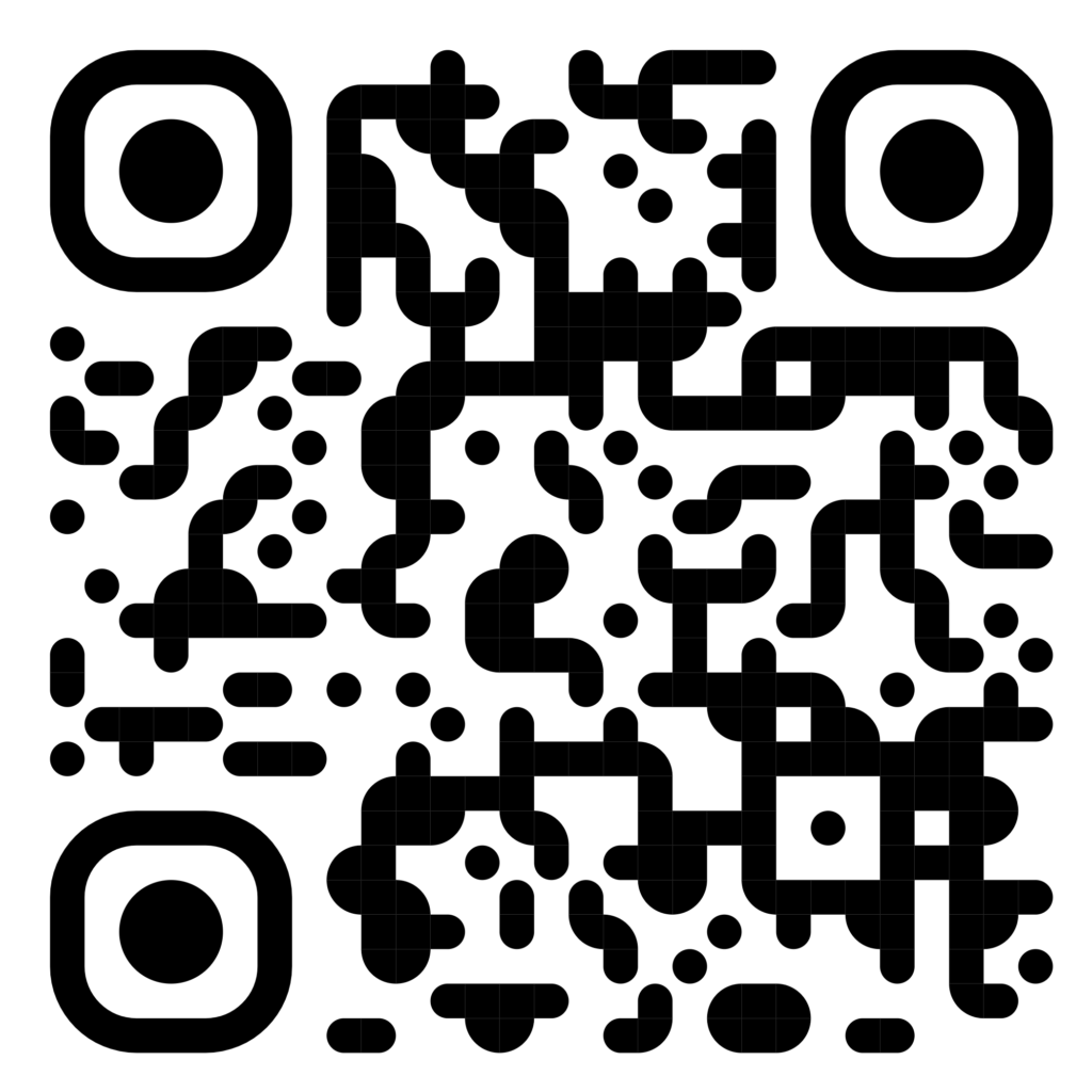
Where are the sampling sites? The QR code below links to this Google Map with the sampling locations marked. If you click on the pin of a specific location, there is an embedded link to “sign up” with your name and contact information for us to follow up. Or, you can contact us directly by email (please see below).
How much soil would be sampled? Our sampling would have negligible impact: a 1.5” diameter probe would be used to sample soils to 3 foot depth, at three points within a 10-15 ft area. All soil data would be provided to the farmer/landowner. The location would be anonymized (county-level) to protect privacy of the specific sampling location.
Questions? Please contact us at margenot@illinois.edu